Amsterdam·2025·a worked example
The ELEVATE protocol, worked through in Amsterdam.
Seven work packages. Real city data where it exists, synthetic data where it cannot, each labelled.
WP1 · Co-creationhypothetical
Who asks what of the streets?
16questions from six stakeholder groups, written by role-play for workshops to replace
Open WP1 →
WP2 · Mobility and activitysynthetic
A week of movement, made up.
200 synthetic people, a GPS fix every 30 seconds, run through the protocol's cleaning. One of their walks:
WalkS097, day 5 · 1.9 km
GPS fixes (orange)36
Walked0 m
Green view on the way
WP4 · Mixed methodsreal data
Residents' reports, set against the images.
223,592public-space reports, June to October 2025
Here both point the same way.
Open WP4 →WP5 · Spatial modellingreal data
Where little green meets low income.
21buurten in a low green-view cluster and among the most low-income households
Then the protocol's step model, tested on synthetic data with an answer planted in advance.
Open WP5 →WP6 · Recommenderidea
From a gap to a picture.
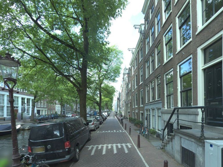
Prinseneiland, street trees added by an image model. 47 such pictures; in every one, both audit models see the added feature. Rate them yourself →
Open WP6 →WP7 · Open sciencedocumentation
Open sources, stated limits.
Sources and models, licences listed14
Personal datanone: mobility is synthetic
Audit and search codeGeoAI-VLM, open source